|
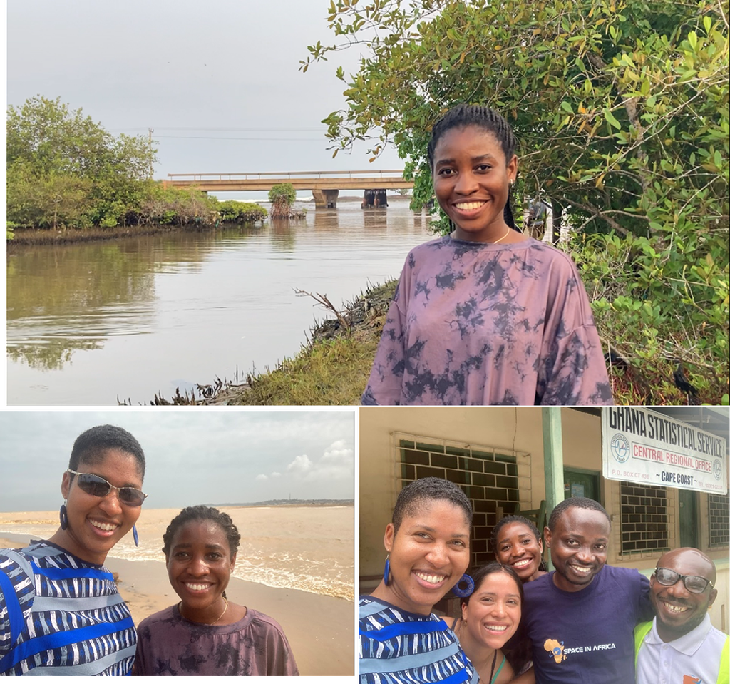
Over the summer (August 2023), Daystar Babanawo (above), a PhD Integrated Coastal Sciences student, participated in a workshop in Ghana that trained local partners to use a co-designed ESRI ArcGIS SDG15 mapping tool (used to map the impacts of illegal gold mining on ecosystems in Ghana) as part of project with Dr. Lagomasino under a NASA Project (Designing Applications to Foster the Health of Terrestrial and Wetland Ecosystems in the Coastal Zone of West Africa). With the project team, she also actively participated in ground truthing field work to validate the mapping tool. The collaborators on this project include folks from The Space Enabled Research Group at the Massachusetts Institute of Technology (MIT) and the US National Aeronautics and Space Administration (NASA), East Carolina University (ECU), Ghana Statistical Service (GSS) and Ghana Space Science and Technology Institute (GSSTI).
0 Comments
Leave a Reply. |
Archives
October 2022
Categories |
COASTS & OCEANS OBSERVING LAB

 RSS Feed
